
Jervis Bay Territory
Territory of Australia
Out Score
coming soon.
Out Score coming soon.
We're freshly researching the laws for every identity lens against our updated methodology. The Jervis Bay Territory's scores will appear here once they're published.
Learn about the Jervis Bay Territory
Beyond the scoreLearn about the Jervis Bay Territory.Official names, languages, local time and practical context for understanding the Jervis Bay Territory beyond its legal score.
Destination overview
About the Jervis Bay Territory.
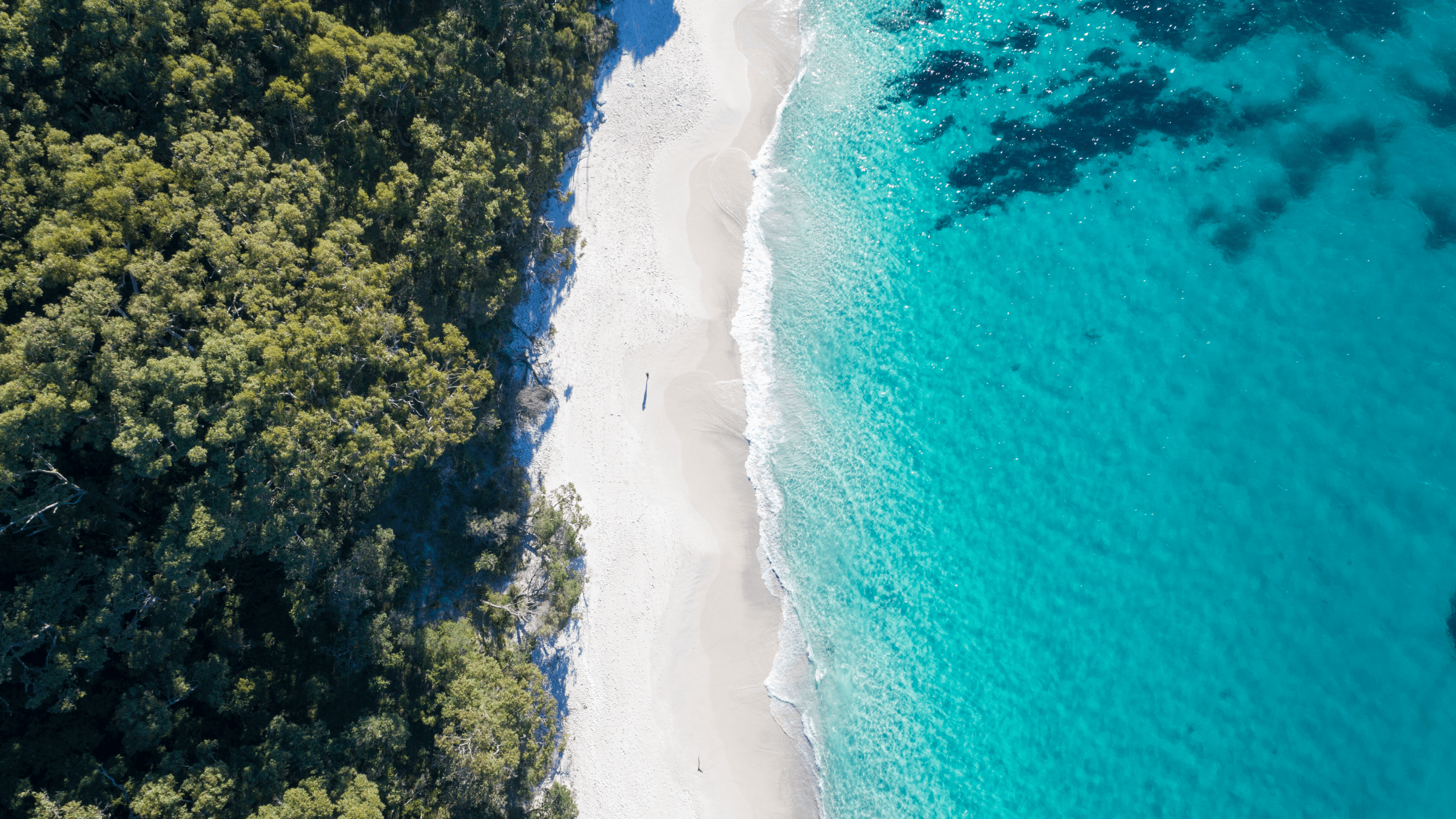
Jervis Bay Territory occupies the Bherwerre Peninsula and adjoining waters on the southern side of Jervis Bay, around 200 kilometres south of Sydney by road. It is a separate Commonwealth-administered territory, not part of New South Wales or the Australian Capital Territory, despite close service and transport links with both. Most of its visitor landscape is Booderee National Park, where forest, heath, wetlands, sheltered beaches and open coast meet within a compact area. The combination of Aboriginal ownership, clear bay water and accessible bushland gives the territory a character distinct from the larger holiday region around it.
Read more about the Jervis Bay Territory
Booderee’s beaches and campgrounds provide bases for swimming, snorkelling, paddling, walking and wildlife observation, while the botanic gardens interpret plants and their cultural uses. Murrays Beach looks across towards Bowen Island, and trails connect forest, cliffs and quieter ocean beaches where conditions can be more exposed. Dolphins, migrating whales, seabirds and marine life are part of the wider bay environment, although sightings are never guaranteed. The park’s visitor centre, guided activities and local cultural tours add context that a beach-only visit would miss, especially when access or conservation measures affect particular sites.
Booderee is Aboriginal land owned by the Wreck Bay Aboriginal Community and jointly managed with Parks Australia. The name Booderee means bay of plenty in the Dhurga language, reflecting relationships with Country that continue through community life, knowledge and park management. The territory was surrendered by New South Wales to the Commonwealth in 1915 as part of arrangements connected with the federal capital, but it did not become part of the ACT. Wreck Bay Village, Commonwealth administration and the neighbouring naval presence add further layers to a place where tourism, community, defence and conservation operate side by side.
The territory is reached by road from Sydney, Canberra and towns along the New South Wales South Coast. A car is the most practical way to move between Booderee’s beaches, trailheads, campgrounds and the limited services at Jervis Bay Village, as public transport within the territory is sparse. Park camping must be booked, while a wider range of hotels, holiday rentals, shops and tour departures is available outside the boundary around Huskisson, Vincentia and other bay settlements. Conditions differ between sheltered bay beaches and the open coast, so park alerts, fire conditions and local advice should be checked separately when planning each day.
Official and Indigenous Names
- Jervis Bay Territory (English)
Region
- Australasia
Continent
- Oceania
Resident population
310
2021 data
Capitals and seats of government
- Jervis Bay Village · De Facto
Resident Population 128
2021 data
Currency
- Australian Dollar (AUD · A$)
Driving side
- left side of the road
Electricity
Languages
English
Official in practice · ISO 639-3: eng
Useful phrases in English
- Hello
- Hello
- Goodbye
- Goodbye
- Please
- Please
- Thank you
- Thank you
- Excuse me
- Excuse me
Dharawal
Indigenous · ISO 639-3: tbh
Dhurga
Indigenous · ISO 639-3: dhu
Current time and time zone
Australian Eastern TimeAEST
Australia/Sydney · Standard AEST, daylight AEDT
Largest cities by resident population
- Jervis Bay · 128Urban Area
2021 data
Information reviewed 30 August 2026